
1933 Map of Oban
USGS Topo · Published 1933About this map
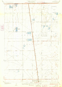
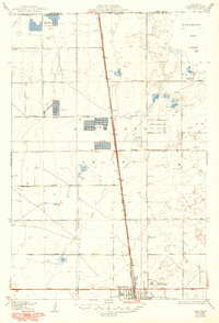
Antelope Valley is defined by a rigid grid of surveyed avenues and the central corridor of the Southern Pacific railroad during the early 1930s. The settlement of Oban serves as a small rail siding, while the northern reaches of Lancaster begin to take shape at the bottom of the sheet. The landscape is notably occupied by numerous private recreational properties, including the Glendale Rod and Gun Club, Hoffman Club, and Clarke Club, suggesting a period when this high desert terrain was a destination for sports and social organizations. To the northeast, the edge of Rosamond Dry Lake anchors the topography, bordered by holdings of the Wagas Land Company. The presence of a Landing Field near the rail line reflects the early aviation infrastructure emerging in the region, while the strictly labeled grid from Avenue A through Avenue I illustrates the systematic division of the valley floor.
Find a feature on this map
32 named features on this map. Tap any name to fly to it.
Don’t see what you’re looking for? This feature index may not catch every label — zoom into the map to look around manually.
Map Details
Editions of this 1933 Oban Map
3 editions found
Other maps of this area

1915 · Elizabeth Lake
USGS Topo · 1:125,000

1917 · Elizabeth Lake
USGS Topo · 1:125,000

1930 · Oban
USGS Topo · 1:24,000

1930 · Roosevelt School
USGS Topo · 1:24,000

1930 · Lancaster
USGS Topo · 1:24,000

1930 · Tierra Bonita
USGS Topo · 1:24,000

1931 · Del Sur
USGS Topo · 1:24,000

1931 · Esperanza School
USGS Topo · 1:24,000

1933 · Lancaster
USGS Topo · 1:24,000

1933 · Roosevelt School
USGS Topo · 1:24,000