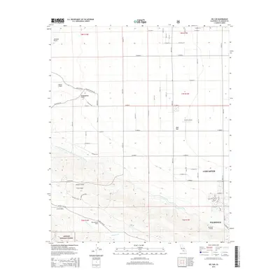
2015 Map of Del Sur
USGS Topo · Published 2015About this map
The San Andreas Fault cuts a diagonal path across this High Desert landscape, separating the alluvial floor of the Antelope Valley from the rising elevations of the Angeles National Forest. The settlement of Del Sur sits at a transition point where the rigid grid of West Avenue roads meets the complex terrain of Portal Ridge and Johnson Summit. Critical infrastructure is a defining element of this region, most notably the Governor Edmund G Brown East Branch California Aqueduct, which winds through the foothills. Along the southern and eastern margins, the encroaching suburban growth of Lancaster and Palmdale is visible, contrasting with the more rural character of Leona Valley. Aviation history is represented by Bohunk's Airpark, while the natural drainage of Amargosa Cr and Willow Springs Canyon illustrates the local hydrology of this arid environment.
Find a feature on this map
64 named features on this map. Tap any name to fly to it.
Don’t see what you’re looking for? This feature index may not catch every label — zoom into the map to look around manually.
Map Details
Editions of this 2015 Del Sur Map
This is the sole edition of this map. No revisions or reprints were ever made.
Other maps of this area

1915 · Elizabeth Lake
USGS Topo · 1:125,000

1917 · Elizabeth Lake
USGS Topo · 1:125,000

1931 · Little Buttes
USGS Topo · 1:24,000

1931 · Del Sur
USGS Topo · 1:24,000

1931 · Esperanza School
USGS Topo · 1:24,000

1932 · Lake
USGS Topo · 1:24,000

1934 · Little Buttes
USGS Topo · 1:24,000

1934 · Esperanza School
USGS Topo · 1:24,000
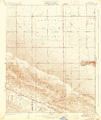
1936 · Del Sur
USGS Topo · 1:24,000
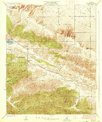
1937 · Lake
USGS Topo · 1:24,000