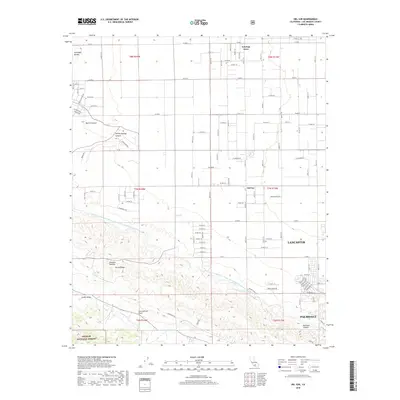
2018 Map of Del Sur
USGS Topo · Published 2018About this map
Antelope Acres and the community of Del Sur occupy the high desert floor as it meets the northern foothills of the San Gabriel Mountains. This landscape is famously bifurcated by the San Andreas Fault, which runs along the base of Portal Ridge and through the Leona Valley. The modern engineering of the Governor Edmund G Brown East Branch California Aqueduct snakes across the terrain, illustrating the region's reliance on water infrastructure to support its growth within the Antelope Valley.
Find a feature on this map
69 named features on this map. Tap any name to fly to it.
Don’t see what you’re looking for? This feature index may not catch every label — zoom into the map to look around manually.
Map Details
Editions of this 2018 Del Sur Map
This is the sole edition of this map. No revisions or reprints were ever made.
Other maps of this area

1915 · Elizabeth Lake
USGS Topo · 1:125,000

1917 · Elizabeth Lake
USGS Topo · 1:125,000

1931 · Little Buttes
USGS Topo · 1:24,000

1931 · Del Sur
USGS Topo · 1:24,000

1931 · Esperanza School
USGS Topo · 1:24,000

1932 · Lake
USGS Topo · 1:24,000

1934 · Little Buttes
USGS Topo · 1:24,000

1934 · Esperanza School
USGS Topo · 1:24,000
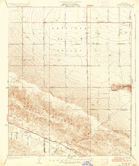
1936 · Del Sur
USGS Topo · 1:24,000
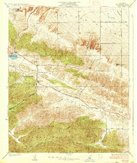
1937 · Lake
USGS Topo · 1:24,000