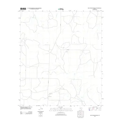
2012 Map of Del Venado Ranch
USGS Topo · Published 2012About this map
Del Venado Ranch serves as a primary landmark in this section of Tom Green County, where the landscape is defined by the intermittent drainage of Dry Cr, Burr Oak Cr, and Brady Cr. The mapping reflects a rural Texas environment where large-scale ranching and mineral extraction coexist. The presence of the F and H Oil Field indicates the industrial layer of the local economy, connected to the wider region by a network of local roads including Treadwell Ln, Wilhelm Ln, and Cord-2275. This 2012 survey captures the spatial organization of these operations, showing how modern land use follows the natural contours and watercourses of the West Texas terrain.
Find a feature on this map
9 named features on this map. Tap any name to fly to it.
Don’t see what you’re looking for? This feature index may not catch every label — zoom into the map to look around manually.
Map Details
Editions of this 2012 Del Venado Ranch Map
This is the sole edition of this map. No revisions or reprints were ever made.
Other maps of this area

1892 · San Angelo
USGS Topo · 1:125,000

1892 · Eden
USGS Topo · 1:125,000

1893 · Fort McKavett
USGS Topo · 1:125,000

1896 · Eden
USGS Topo · 1:125,000

1954 · Brownwood
USGS Topo · 1:250,000

1954 · Llano
USGS Topo · 1:250,000

1954 · Sonora
USGS Topo · 1:250,000

1954 · San Angelo
USGS Topo · 1:250,000

1955 · Llano
USGS Topo · 1:250,000

1956 · Llano
USGS Topo · 1:250,000