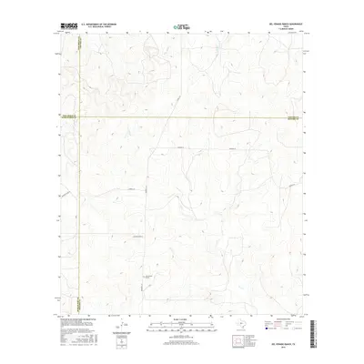
2016 Map of Del Venado Ranch
USGS Topo · Published 2016About this map
Del Venado Ranch serves as a central landmark in this high-plains landscape where four Texas counties—Tom Green, Schleicher, Concho, and Menard—converge. The terrain is defined by a network of seasonal drainages including Burr Oak Cr and Brady Cr in the north, while Dry Cr winds through the southern reaches. This modern survey illustrates the enduring ranching infrastructure of the region, where large landholdings are accessed by named routes like Rocking Chair Ln and Treadwell Ln. The intersection of county lines across these drainages highlights the complex political geography of the Edwards Plateau, where property boundaries and county jurisdictions often follow the subtle shifts in the watershed.
Find a feature on this map
13 named features on this map. Tap any name to fly to it.
Don’t see what you’re looking for? This feature index may not catch every label — zoom into the map to look around manually.
Map Details
Editions of this 2016 Del Venado Ranch Map
This is the sole edition of this map. No revisions or reprints were ever made.
Other maps of this area

1892 · San Angelo
USGS Topo · 1:125,000

1892 · Eden
USGS Topo · 1:125,000

1893 · Fort McKavett
USGS Topo · 1:125,000

1896 · Eden
USGS Topo · 1:125,000

1954 · Brownwood
USGS Topo · 1:250,000

1954 · Llano
USGS Topo · 1:250,000

1954 · Sonora
USGS Topo · 1:250,000

1954 · San Angelo
USGS Topo · 1:250,000

1955 · Llano
USGS Topo · 1:250,000

1956 · Llano
USGS Topo · 1:250,000