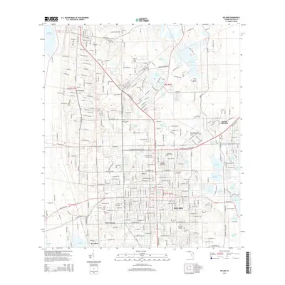
2015 Map of DeLand
USGS Topo · Published 2015About this map
DeLand and its satellite communities of North DeLand, West DeLand, and Glenwood are defined by a complex landscape of sinkhole lakes and wetlands. The academic heart of the region is centered at Stetson Univ, while the surrounding grid expands toward the east and south. A high concentration of burial sites, including Oakdale Cem, Glenwood Black Cem, and Pinehurst Cem, provides significant data for genealogical research across the city's diverse historical sections.
Find a feature on this map
219 named features on this map. Tap any name to fly to it.
Don’t see what you’re looking for? This feature index may not catch every label — zoom into the map to look around manually.
Map Details
Editions of this 2015 DeLand Map
This is the sole edition of this map. No revisions or reprints were ever made.
Other maps of this area

1954 · Daytona Beach
USGS Topo · 1:250,000

1955 · Orlando
USGS Topo · 1:250,000

1957 · Orlando
USGS Topo · 1:250,000

1958 · Orlando
USGS Topo · 1:250,000

1958 · Daytona Beach
USGS Topo · 1:250,000

1962 · Orlando
USGS Topo · 1:250,000

1962 · Pine Lakes
USGS Topo · 1:24,000

1962 · Daytona Beach NW
USGS Topo · 1:24,000

1962 · Daytona Beach SW
USGS Topo · 1:24,000

1962 · Lake Woodruff
USGS Topo · 1:24,000