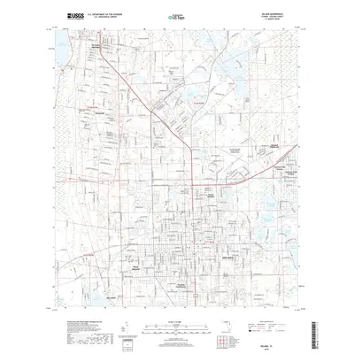
2018 Map of DeLand
USGS Topo · Published 2018About this map
The campus of Stetson University sits at the heart of this survey of DeLand and its surrounding communities during a period of modern expansion. The map details the residential and institutional layout of the area, stretching from North DeLand to DeLand Southwest and including specialized airfields like North Exuma Airport and DeLand Municipal Airport. To the west, the landscape is defined by the marshy corridor of the Dead River and the broad waters of Lake Beresford.
Find a feature on this map
87 named features on this map. Tap any name to fly to it.
Don’t see what you’re looking for? This feature index may not catch every label — zoom into the map to look around manually.
Map Details
Editions of this 2018 DeLand Map
This is the sole edition of this map. No revisions or reprints were ever made.
Other maps of this area

1954 · Daytona Beach
USGS Topo · 1:250,000

1955 · Orlando
USGS Topo · 1:250,000

1957 · Orlando
USGS Topo · 1:250,000

1958 · Orlando
USGS Topo · 1:250,000

1958 · Daytona Beach
USGS Topo · 1:250,000

1962 · Orlando
USGS Topo · 1:250,000

1962 · Pine Lakes
USGS Topo · 1:24,000

1962 · Daytona Beach NW
USGS Topo · 1:24,000

1962 · Daytona Beach SW
USGS Topo · 1:24,000

1962 · Lake Woodruff
USGS Topo · 1:24,000