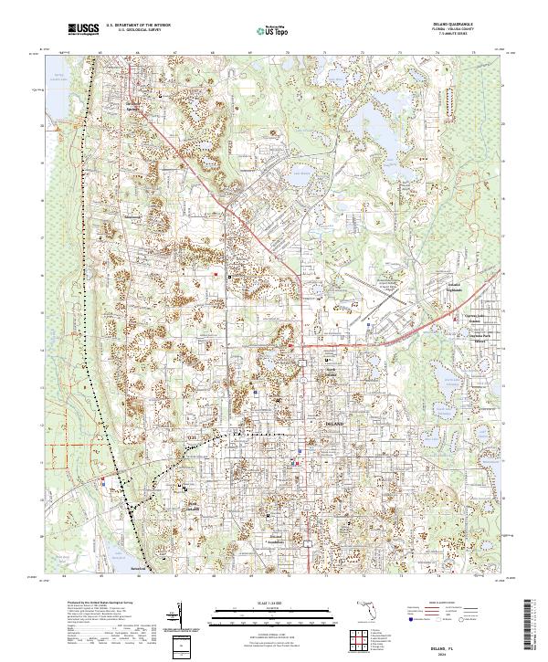
2024 Map of DeLand
USGS Topo · Published 2024About this map
Stetson University and the Volusia County Courthouse serve as the anchors for the regional center of DeLand, a landscape defined by an intricate network of freshwater lakes. This 2024 survey documents the dense urban grid extending into North DeLand and West DeLand, while the western periphery remains dominated by the sprawling wetlands of the Lake Woodruff National Wildlife Refuge. The geography is notably shaped by its citrus-era roots and numerous historic burial grounds, including Oakdale Cem, Charnel Cem, and the DeLand Memorial Gardens.
Find a feature on this map
122 named features on this map. Tap any name to fly to it.
Don’t see what you’re looking for? This feature index may not catch every label — zoom into the map to look around manually.
Map Details
Editions of this 2024 DeLand Map
This is the sole edition of this map. No revisions or reprints were ever made.
Other maps of this area

1954 · Daytona Beach
USGS Topo · 1:250,000

1955 · Orlando
USGS Topo · 1:250,000

1957 · Orlando
USGS Topo · 1:250,000

1958 · Orlando
USGS Topo · 1:250,000

1958 · Daytona Beach
USGS Topo · 1:250,000

1962 · Orlando
USGS Topo · 1:250,000

1962 · Pine Lakes
USGS Topo · 1:24,000

1962 · Daytona Beach NW
USGS Topo · 1:24,000

1962 · Daytona Beach SW
USGS Topo · 1:24,000

1962 · Lake Woodruff
USGS Topo · 1:24,000