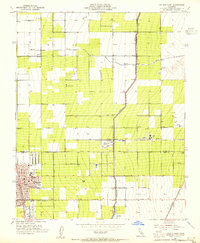
1953 Map of Delano East
USGS Topo · Published 1955About this map
The Friant-Kern Canal cuts a distinct industrial line north-to-south across the landscape, marking the infrastructure that fueled Central Valley agriculture in the early 1950s. The burgeoning city of Delano anchors the southwestern corner of the map, revealing a concentrated urban core including City Hall, an Armory, and Memorial Stadium. Educational landmarks such as Union High Sch, Delano Terrace School, and St Marys School illustrate the community's mid-century development.
Find a feature on this map
38 named features on this map. Tap any name to fly to it.
Don’t see what you’re looking for? This feature index may not catch every label — zoom into the map to look around manually.
Map Details
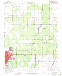
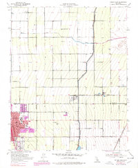
Editions of this 1953 Delano East Map
Other maps of this area

1927 · McFarland
USGS Topo · 1:31,680

1929 · Delano
USGS Topo · 1:31,680

1929 · Sausalito School
USGS Topo · 1:31,680

1929 · Richgrove
USGS Topo · 1:31,680

1929 · Pixley
USGS Topo · 1:31,680

1929 · Stone
USGS Topo · 1:31,680

1929 · Ducor
USGS Topo · 1:31,680

1930 · McFarland
USGS Topo · 1:31,680

1930 · Pond
USGS Topo · 1:31,680

1931 · Deepwell Ranch
USGS Topo · 1:31,680
Featured Places
- Delano, CA
- Delano Mobile Home Park, Delano
- Cypress Gardens Mobile Home Community, Delano
- Kern County, CA
- Tulare County, CA