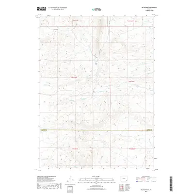
2017 Map of Delano Ranch
USGS Topo · Published 2017About this map
Delano Ranch sits at the heart of this high-plains landscape, where the drainage systems of the Laramie and Platte county line intersect. This 2017 survey details a network of vital water management features essential to ranching in the region, including the Clay Number 1 Reservoir and Miller Number 1 Reservoir. The terrain is defined by a dense web of seasonal and perennial streams, most notably the N Chugwater Cr and its various tributaries such as Spring Cr and Threemile Cr.
Find a feature on this map
22 named features on this map. Tap any name to fly to it.
Don’t see what you’re looking for? This feature index may not catch every label — zoom into the map to look around manually.
Map Details
Editions of this 2017 Delano Ranch Map
This is the sole edition of this map. No revisions or reprints were ever made.
Other maps of this area

1953 · Natwick SW
USGS Topo · 1:24,000

1953 · Richeau Hills
USGS Topo · 1:24,000

1954 · Cheyenne
USGS Topo · 1:250,000

1955 · Poe Mountain
USGS Topo · 1:24,000

1955 · Indian Guide
USGS Topo · 1:24,000

1955 · Goat Mountain
USGS Topo · 1:24,000

1958 · Cheyenne
USGS Topo · 1:250,000

1962 · Farthing
USGS Topo · 1:24,000

1962 · Delano Ranch
USGS Topo · 1:24,000

1962 · Hirsig Ranch
USGS Topo · 1:24,000