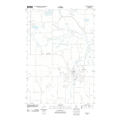
2010 Map of Delano
USGS Topo · Published 2010About this map
Delano serves as the focal point of this landscape, situated at the critical confluence where the North Fork Crow River and South Fork Crow River approach one another. This 2010 survey illustrates a community deeply rooted in its local heritage, evidenced by a high density of burial grounds distributed across the township. From the centrally located Delano Cemetery and Calvary Cemetery to the outlying Cassel Cemetery and Trinity Cemetery, these sites provide essential data for genealogical research. The river systems dominate the topography, with Frederick Creek and several significant water bodies like Dean Lake and Crawford Lake defining the northern reaches. The map documents the established grid of rural roads and county highways that link these natural features with the residential and civic center at the Delano Post Office.
Find a feature on this map
67 named features on this map. Tap any name to fly to it.
Don’t see what you’re looking for? This feature index may not catch every label — zoom into the map to look around manually.
Map Details
Editions of this 2010 Delano Map
This is the sole edition of this map. No revisions or reprints were ever made.
Other maps of this area

1905 · Minnetonka
USGS Topo · 1:62,500

1907 · Minnetonka
USGS Topo · 1:62,500

1909 · Rockford
USGS Topo · 1:62,500

1953 · Saint Paul
USGS Topo · 1:250,000

1953 · Stillwater
USGS Topo · 1:250,000

1955 · Stillwater
USGS Topo · 1:250,000

1957 · Waconia
USGS Topo · 1:62,500

1958 · Stillwater
USGS Topo · 1:250,000

1958 · Rockford
USGS Topo · 1:62,500

1958 · Mound
USGS Topo · 1:24,000