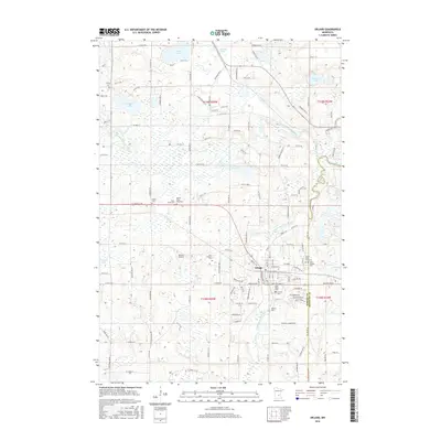
2016 Map of Delano
USGS Topo · Published 2016About this map
The South Fork Crow River and North Fork Crow River dominate this Central Minnesota landscape, converging near the established community of Delano. This 2016 survey illustrates the township's transition from agricultural foundations to more modern residential patterns, yet the density of burial grounds like Trinity Cem and Saint Joseph's Cem preserves a record of early family settlements across the Wright and Hennepin county line. The presence of Brandt Airport and various named water bodies, including Dean Lake and Lake Rebecca, underscores the region's character as both a transport corridor and a recreational destination. Small-scale features such as Dickinson Spring and the numerous churches providing for the community's spiritual and historical needs, such as Calvary Cem, remain clearly marked, offering a precise look at the area's social geography.
Find a feature on this map
129 named features on this map. Tap any name to fly to it.
Don’t see what you’re looking for? This feature index may not catch every label — zoom into the map to look around manually.
Map Details
Editions of this 2016 Delano Map
This is the sole edition of this map. No revisions or reprints were ever made.
Other maps of this area

1905 · Minnetonka
USGS Topo · 1:62,500

1907 · Minnetonka
USGS Topo · 1:62,500

1909 · Rockford
USGS Topo · 1:62,500

1953 · Saint Paul
USGS Topo · 1:250,000

1953 · Stillwater
USGS Topo · 1:250,000

1955 · Stillwater
USGS Topo · 1:250,000

1957 · Waconia
USGS Topo · 1:62,500

1958 · Stillwater
USGS Topo · 1:250,000

1958 · Rockford
USGS Topo · 1:62,500

1958 · Mound
USGS Topo · 1:24,000