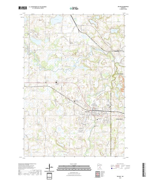
2022 Map of Delano
USGS Topo · Published 2022About this map
The confluence of the North Fork Crow River and South Fork Crow River anchors this study of the Wright and Hennepin county border. The landscape is defined by its deep spiritual and community roots, evidenced by an exceptional concentration of burial grounds including Old Saint Peters Cem, Saint Josephs Cem, and Saint Pauls Cem. These sites, alongside the dual campuses of the Mount Olive Lutheran West and East cemeteries, reflect the generational settlement patterns of the Delano and Rockford areas.
Find a feature on this map
87 named features on this map. Tap any name to fly to it.
Don’t see what you’re looking for? This feature index may not catch every label — zoom into the map to look around manually.
Map Details
Editions of this 2022 Delano Map
This is the sole edition of this map. No revisions or reprints were ever made.
Other maps of this area

1905 · Minnetonka
USGS Topo · 1:62,500

1907 · Minnetonka
USGS Topo · 1:62,500

1909 · Rockford
USGS Topo · 1:62,500

1953 · Saint Paul
USGS Topo · 1:250,000

1953 · Stillwater
USGS Topo · 1:250,000

1955 · Stillwater
USGS Topo · 1:250,000

1957 · Waconia
USGS Topo · 1:62,500

1958 · Stillwater
USGS Topo · 1:250,000

1958 · Rockford
USGS Topo · 1:62,500

1958 · Mound
USGS Topo · 1:24,000