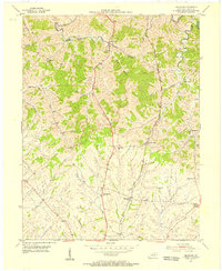
1953 Map of Delaplain
USGS Topo · Published 1955About this map
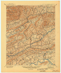
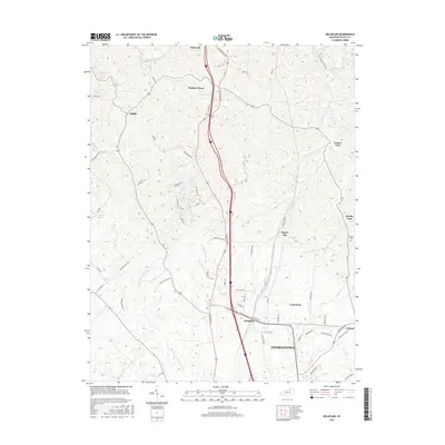
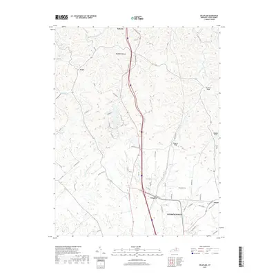
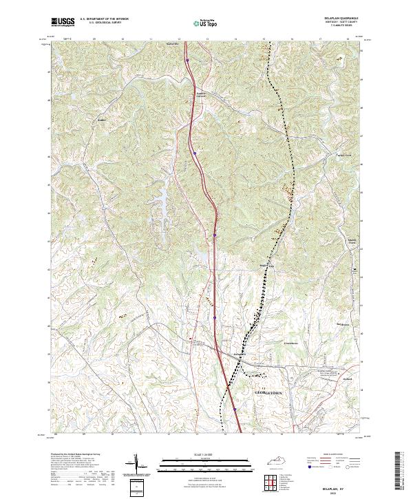
Big Eagle Creek winds through the northern reaches of this Scott County landscape, defining a terrain of deep valleys and sharp ridges that dictated the early settlement patterns of central Kentucky. In the early 1950s, the Southern railroad corridor and Highway 25 served as the primary north-south arteries, connecting small rural hubs like Delaplain and Rogers Gap. The map documents a transition from these transportation spines to more isolated hamlets such as Biddle and Turkey Foot. Local community life is anchored by dispersed landmarks including Salem Ch, Mt Olive Ch, and the County Farm near Cranetown. The concentration of named crossroads like Oxford and Boydtown reflects a densely settled agrarian society before the expansion of modern thoroughfares altered the traditional proximity of these independent country centers.
Find a feature on this map
31 named features on this map. Tap any name to fly to it.
Don’t see what you’re looking for? This feature index may not catch every label — zoom into the map to look around manually.
Map Details
Editions of this 1953 Delaplain Map
This is the sole edition of this map. No revisions or reprints were ever made.
Historical Maps of Georgetown Through Time
8 maps found