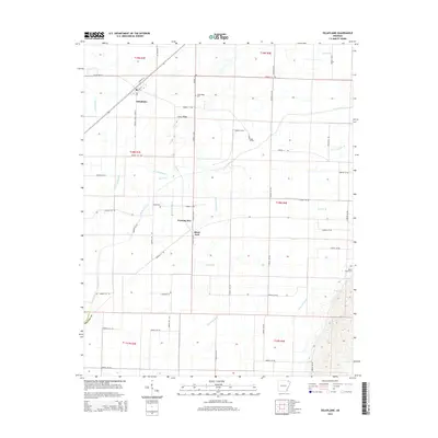
2014 Map of Delaplaine
USGS Topo · Published 2014About this map
Delaplaine serves as the primary hub for this low-lying agricultural landscape in eastern Arkansas, where human engineering has meticulously managed the watershed. The township is surrounded by a complex network of man-made drainage features including Main Canal, Swan Pond Ditch, and numerous laterals such as Lateral Number 12 and Lateral Number 15, all designed to control the flow of the Cache River and its tributaries like Lick Cr.
Find a feature on this map
67 named features on this map. Tap any name to fly to it.
Don’t see what you’re looking for? This feature index may not catch every label — zoom into the map to look around manually.
Map Details
Editions of this 2014 Delaplaine Map
This is the sole edition of this map. No revisions or reprints were ever made.
Other maps of this area
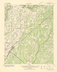
1932 · Walnut Ridge
USGS Topo · 1:62,500
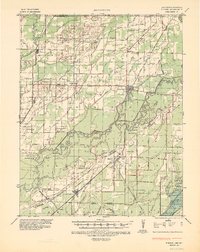
1935 · Knobel
USGS Topo · 1:62,500
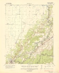
1935 · Reyno
USGS Topo · 1:62,500
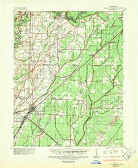
1935 · Walnut Ridge
USGS Topo · 1:62,500
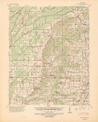
1940 · Gainesville
USGS Topo · 1:62,500
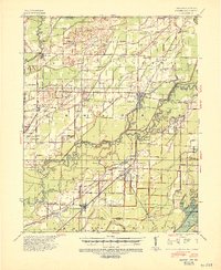
1941 · Knobel
USGS Topo · 1:62,500

1957 · Poplar Bluff
USGS Topo · 1:250,000
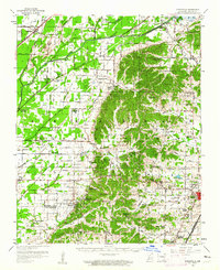
1958 · Gainesville
USGS Topo · 1:62,500
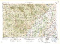
1959 · Poplar Bluff
USGS Topo · 1:250,000
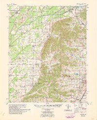
1960 · Gainesville
USGS Topo · 1:62,500