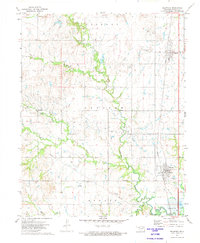
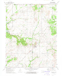
1972 Map of Delaware
USGS Topo · Published 1974About this map
Hickory Oil Field, Lenapah Oil Field, and the Nowata Oil Field dominate the landscape of this northeastern Oklahoma region in the early 1970s. The map illustrates a high density of oil-related activity, with numerous drill holes, gas wells, and shale pits scattered across the terrain. Settlement is concentrated along the Missouri Pacific railroad corridor, most notably in the towns of Lenapah and Delaware.
Find a feature on this map
26 named features on this map. Tap any name to fly to it.
Don’t see what you’re looking for? This feature index may not catch every label — zoom into the map to look around manually.
Map Details
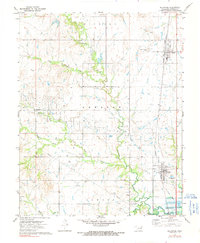
Editions of this 1972 Delaware Map
2 editions found
Other maps of this area

1901 · Nowata
USGS Topo · 1:125,000

1914 · Nowata
USGS Topo · 1:125,000

1954 · Tulsa
USGS Topo · 1:250,000

1958 · Tulsa
USGS Topo · 1:250,000

1963 · Tulsa
USGS Topo · 1:250,000

1972 · Blue Mound
USGS Topo · 1:24,000
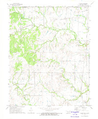
1972 · Elliott
USGS Topo · 1:24,000

1972 · Nowata West
USGS Topo · 1:24,000
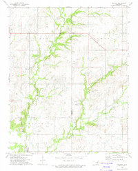
1972 · Oglesby
USGS Topo · 1:24,000
1972 · Wann
USGS Topo · 1:24,000