
1891 Map of Delaware Water Gap
USGS Topo · Published 1891About this map
Stroudsburg and East Stroudsburg serve as the northern gateways to this mountainous corridor where the Delaware River cuts through the Kittatinny Mountain range. Late nineteenth-century industry is anchored by the Old Bangor Slate Quarry and numerous other Slate Quarries concentrated near Bangor and Pen Argyl. The landscape is a complex intersection of early transportation networks, including the D. L. & W. R. R. and the Belvidere Division Railroad, which follow the river's path alongside historic river crossings like Myeres Ferry and Hartzells Ferry. Small agricultural and postal hamlets such as Stone Church P.O. and Ackermanville dot the valleys between Godfrey Ridge and Scotts Mountain, reflecting a period when the river was the primary artery for both commerce and travel between Pennsylvania and New Jersey.
Find a feature on this map
110 named features on this map. Tap any name to fly to it.
Don’t see what you’re looking for? This feature index may not catch every label — zoom into the map to look around manually.
Map Details
Editions of this 1891 Delaware Water Gap Map
This is the sole edition of this map. No revisions or reprints were ever made.
Other maps of this area

1888 · Hackettstown
USGS Topo · 1:62,500

1890 · Easton
USGS Topo · 1:62,500

1890 · High Bridge
USGS Topo · 1:62,500

1891 · Easton
USGS Topo · 1:62,500

1891 · Wallpack
USGS Topo · 1:62,500

1893 · Delaware Water Gap
USGS Topo · 1:62,500
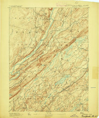
1893 · Wallpack
USGS Topo · 1:62,500

1894 · Hackettstown
USGS Topo · 1:62,500

1894 · Allentown
USGS Topo · 1:62,500
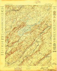
1898 · Hackettstown
USGS Topo · 1:62,500