
1943 Map of Delhi
USGS Topo · Published 1953About this map
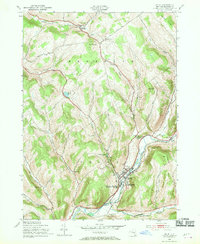
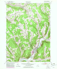
The village of Delhi serves as the focal point of this Delaware County landscape, situated at the confluence of the River Delaware and the Little Delaware River. In the early 1940s, the area combined its role as an educational hub, featuring the State Agricultural and Technical Institute and the Delaware Academy and Central Sch, with a sturdy agricultural and transport foundation. The New York Ontario and Western railroad tracks follow the river's curve, passing the County Sanatorium and the County Home at the village outskirts.
Find a feature on this map
49 named features on this map. Tap any name to fly to it.
Don’t see what you’re looking for? This feature index may not catch every label — zoom into the map to look around manually.
Map Details
Editions of this 1943 Delhi Map
3 editions found
Other maps of this area

1909 · Delhi
USGS Topo · 1:62,500

1911 · Delhi
USGS Topo · 1:62,500

1915 · Oneonta
USGS Topo · 1:62,500

1918 · Oneonta
USGS Topo · 1:62,500

1922 · Andes
USGS Topo · 1:62,500

1923 · Walton
USGS Topo · 1:48,000

1924 · Andes
USGS Topo · 1:62,500

1925 · Walton
USGS Topo · 1:62,500

1943 · Bloomville
USGS Topo · 1:24,000
1943 · Oneonta
USGS Topo · 1:24,000