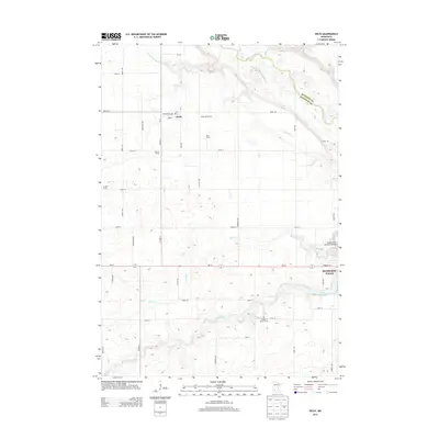
2013 Map of Delhi
USGS Topo · Published 2013About this map
The Minnesota River and Redwood River converge near the eastern edge of this landscape, defining the rugged river valley topography that breaks the surrounding prairie. In the northwest, the small community of Delhi sits amidst a grid of agricultural operations, including Cedar Rock Farms, Werner Farms, and Delhi Farms. A notable historical detail is found south of the river at the Orange C Martin Grave, a solitary landmark that offers a specific point of interest for local historians and genealogists.
Find a feature on this map
43 named features on this map. Tap any name to fly to it.
Don’t see what you’re looking for? This feature index may not catch every label — zoom into the map to look around manually.
Map Details
Editions of this 2013 Delhi Map
This is the sole edition of this map. No revisions or reprints were ever made.
Other maps of this area

1952 · Redwood Falls
USGS Topo · 1:62,500

1953 · New Ulm
USGS Topo · 1:250,000

1957 · New Ulm
USGS Topo · 1:250,000

1958 · New Ulm
USGS Topo · 1:250,000

1965 · Belview
USGS Topo · 1:24,000

1965 · Iverson Lake
USGS Topo · 1:24,000

1967 · New Ulm
USGS Topo · 1:250,000

1967 · Clements
USGS Topo · 1:24,000

1967 · Wabasso
USGS Topo · 1:24,000

1967 · Rowena
USGS Topo · 1:24,000