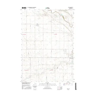
2016 Map of Delhi
USGS Topo · Published 2016About this map
Orange C Martin Grave stands as a solitary historical marker near the southern banks of the Redwood River, illustrating the deeply personal history embedded in this agricultural landscape. The township of Delhi is situated on a high plateau, characterized by a systematic grid of county roads such as Co Rd 9 and Ironwood Ave that service the surrounding farmlands. To the east, the terrain transitions toward the city of Redwood Falls, where the landscape is shaped by the confluence of major waterways and the artificial impoundment of Lake Redwood. The northern portion of the map is dominated by the winding course of the Minnesota River, which forms the boundary between Redwood and Renville counties. This river valley is preserved in part by the Cedar Rock Wildlife Management A, providing a sharp contrast to the geometric drainage patterns of County Ditch Number Ninetyfive to the west.
Find a feature on this map
43 named features on this map. Tap any name to fly to it.
Don’t see what you’re looking for? This feature index may not catch every label — zoom into the map to look around manually.
Map Details
Editions of this 2016 Delhi Map
This is the sole edition of this map. No revisions or reprints were ever made.
Other maps of this area

1952 · Redwood Falls
USGS Topo · 1:62,500

1953 · New Ulm
USGS Topo · 1:250,000

1957 · New Ulm
USGS Topo · 1:250,000

1958 · New Ulm
USGS Topo · 1:250,000

1965 · Belview
USGS Topo · 1:24,000

1965 · Iverson Lake
USGS Topo · 1:24,000

1967 · New Ulm
USGS Topo · 1:250,000

1967 · Clements
USGS Topo · 1:24,000

1967 · Wabasso
USGS Topo · 1:24,000

1967 · Rowena
USGS Topo · 1:24,000