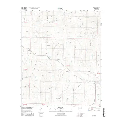
2014 Map of Delight
USGS Topo · Published 2014About this map
Delight and the small settlements of Stelltown and Pike City anchor this portion of southern Arkansas. The landscape is defined by an intricate network of waterways, with Wolf Creek and Saline Creek draining the timbered terrain. In the northwestern corner, Pike City sits near the namesake Pike City Cemetery Rd, suggesting deep roots in the local community. Further west, Brocktown Cemetery serves as a significant genealogical marker for the surrounding area.
Find a feature on this map
76 named features on this map. Tap any name to fly to it.
Don’t see what you’re looking for? This feature index may not catch every label — zoom into the map to look around manually.
Map Details
Editions of this 2014 Delight Map
This is the sole edition of this map. No revisions or reprints were ever made.
Other maps of this area

1901 · Gurdon
USGS Topo · 1:125,000

1906 · Caddo Gap
USGS Topo · 1:125,000

1943 · Antoine
USGS Topo · 1:62,500

1951 · Pisgah
USGS Topo · 1:24,000

1951 · McCaskill
USGS Topo · 1:24,000

1953 · El Dorado
USGS Topo · 1:250,000

1955 · Little Rock
USGS Topo · 1:250,000

1956 · Little Rock
USGS Topo · 1:250,000

1957 · El Dorado
USGS Topo · 1:250,000

1958 · El Dorado
USGS Topo · 1:250,000