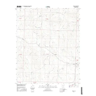
2017 Map of Delight
USGS Topo · Published 2017About this map
Delight and Pike City anchor this portion of Pike County, where a network of rural roads and timberlands meets the drainage basins of the Little Missouri River watershed. The terrain is defined by a dense web of watercourses, including the southward-flowing Saline Cr and the parallel valleys of Wolf Cr and Little Wolf Cr. Small-scale settlements like Stelltown are situated among these ridges, often near distinctive water features such as Wildcat Spring or the many named branches like Kirkham Br and Chinquapin Br.
Find a feature on this map
89 named features on this map. Tap any name to fly to it.
Don’t see what you’re looking for? This feature index may not catch every label — zoom into the map to look around manually.
Map Details
Editions of this 2017 Delight Map
This is the sole edition of this map. No revisions or reprints were ever made.
Other maps of this area

1901 · Gurdon
USGS Topo · 1:125,000

1906 · Caddo Gap
USGS Topo · 1:125,000

1943 · Antoine
USGS Topo · 1:62,500

1951 · Pisgah
USGS Topo · 1:24,000

1951 · McCaskill
USGS Topo · 1:24,000

1953 · El Dorado
USGS Topo · 1:250,000

1955 · Little Rock
USGS Topo · 1:250,000

1956 · Little Rock
USGS Topo · 1:250,000

1957 · El Dorado
USGS Topo · 1:250,000

1958 · El Dorado
USGS Topo · 1:250,000