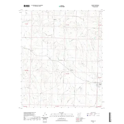
2020 Map of Delight
USGS Topo · Published 2020About this map
Pike City and Delight anchor this portion of Pike County, where the landscape is defined by the intricate drainage of Saline Cr and its numerous tributaries. The settlement of Stelltown is positioned centrally among these watercourses, including Wolf Cr and Little Wolf Cr. This area reflects a long-standing rural Arkansas character, evidenced by the inclusion of the Brocktown Cem and local landmarks like Wildcat Spring. The transport network relies on a mix of public county roads and private ways, such as Potlatch 478 Pvt, suggesting a landscape shaped by timber management and agriculture. The southeastern corner is notably occupied by the town of Delight, showing its established street grid including Antioch St and W Railroad St, which points to the historical importance of rail connectivity in the region.
Find a feature on this map
94 named features on this map. Tap any name to fly to it.
Don’t see what you’re looking for? This feature index may not catch every label — zoom into the map to look around manually.
Map Details
Editions of this 2020 Delight Map
This is the sole edition of this map. No revisions or reprints were ever made.
Other maps of this area

1901 · Gurdon
USGS Topo · 1:125,000

1906 · Caddo Gap
USGS Topo · 1:125,000

1943 · Antoine
USGS Topo · 1:62,500

1951 · Pisgah
USGS Topo · 1:24,000

1951 · McCaskill
USGS Topo · 1:24,000

1953 · El Dorado
USGS Topo · 1:250,000

1955 · Little Rock
USGS Topo · 1:250,000

1956 · Little Rock
USGS Topo · 1:250,000

1957 · El Dorado
USGS Topo · 1:250,000

1958 · El Dorado
USGS Topo · 1:250,000