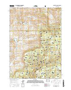
2017 Map of Delintment Lake
USGS Topo · Published 2017About this map
Ochoco National Forest defines the high-country landscape of this 2017 survey, where the boundaries of Crook, Grant, and Harney Counties converge. This territory is characterized by a sophisticated network of Forest Service infrastructure, including Nat For Dev Rd 4170 and Nat For Dev Rd 45, which provide access to numerous water sources essential for high-desert ecology and land management. Distinctive peaks like Iron Mtn overlook a drainage system where Grindstone Cr and Twelvemile Cr carve through the terrain. The presence of several family-named and geographic landmarks such as Sherman Spring, Robertson Spring, and Jimmy McCuen Spring points to a history of ranching and resource use in these highlands. Centrally located reservoirs, including Williams Reservoir and Grindstone Reservoir, along with Delintment Lake near the southeastern corner, highlight the critical role of water storage in this arid region of central Oregon.
Find a feature on this map
40 named features on this map. Tap any name to fly to it.
Don’t see what you’re looking for? This feature index may not catch every label — zoom into the map to look around manually.
Map Details
Editions of this 2017 Delintment Lake Map
This is the sole edition of this map. No revisions or reprints were ever made.
Other maps of this area

1932 · Dayville
USGS Topo · 1:125,000

1936 · Dayville
USGS Topo · 1:125,000

1955 · Burns
USGS Topo · 1:250,000

1955 · Canyon City
USGS Topo · 1:250,000

1958 · Burns
USGS Topo · 1:250,000

1959 · Burns
USGS Topo · 1:250,000

1959 · Canyon City
USGS Topo · 1:250,000

1961 · Delintment Lake
USGS Topo · 1:62,500

1981 · Suplee
USGS Topo · 1:24,000

1981 · Dayville
USGS Topo · 1:100,000