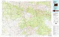
1981 Map of Dayville
USGS Topo · Published 1981About this map
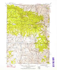
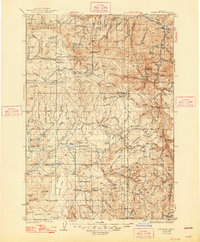
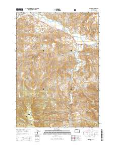
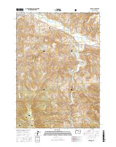
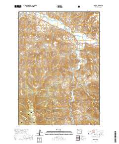
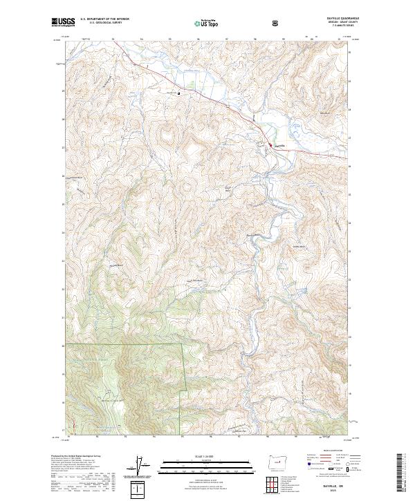
Dayville serves as the primary hub at the confluence of the John Day River and the South Fork John Day River, anchoring a region defined by high-elevation tables and the transition between the Ochoco National Forest and the Malheur National Forest. The 1981 data illustrates a landscape of high ridges and isolated outposts, including the settlements of Izee and Suplee. Resource extraction is evident through several mapped operations such as Chambers Mine, Waterman Mine, and Silvers Mine, while the agricultural and timber character of the land is marked by numerous family-named peaks and buttes like Wolfinger Butte and Weberg Butte. The presence of several prominent plateaus, including Laughlin Table and Ryegrass Table, suggests a topography where level rangeland is often separated by steep drainage systems like Murderers Creek and Beaver Creek.
Find a feature on this map
79 named features on this map. Tap any name to fly to it.
Don’t see what you’re looking for? This feature index may not catch every label — zoom into the map to look around manually.
Map Details
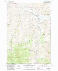
Editions of this 1981 Dayville Map
2 editions found
Historical Maps of Mount Vernon Through Time
10 maps found