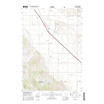
2017 Map of Dell
USGS Topo · Published 2017About this map
Dell is the primary settlement in this southwestern Montana landscape, situated where the Red Rock River valley meets the high-elevation terrain of the Beaverhead National Forest. This 2017 survey illustrates the transport corridor defined by the Oregon Short Line and Red Rock Rd, which parallel the river's course through the center of the sheet. Notable aviation and infrastructure markers include the Dell Flight Strip and the Big Sheep Creek Bridge.
Find a feature on this map
50 named features on this map. Tap any name to fly to it.
Don’t see what you’re looking for? This feature index may not catch every label — zoom into the map to look around manually.
Map Details
Editions of this 2017 Dell Map
This is the sole edition of this map. No revisions or reprints were ever made.
Other maps of this area

1955 · Dubois
USGS Topo · 1:250,000

1958 · Dubois
USGS Topo · 1:250,000

1965 · Kidd
USGS Topo · 1:24,000

1965 · Caboose Canyon
USGS Topo · 1:24,000

1965 · Gallagher Gulch
USGS Topo · 1:24,000

1965 · Lima
USGS Topo · 1:24,000

1965 · Briggs Ranch
USGS Topo · 1:24,000

1965 · Rock Island Ranch
USGS Topo · 1:24,000

1965 · Dixon Mountain
USGS Topo · 1:24,000

1965 · Dell
USGS Topo · 1:24,000