
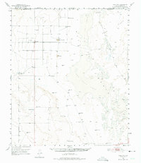
1951 Map of Dell City
USGS Topo · Published 1952About this map
The Salt Basin landscape of West Texas is defined by the massive white expanse of the Dry Salt Lake and scattered Salt Ponds, illustrating a high-desert environment where water is the primary driver of human activity. Settlement in the early 1950s is sparse, centered on Dell City and a network of remote family cattle operations including the List Ranch, Lynch Ranch, and TC Ranch. This era shows a community reliant on groundwater, evidenced by a high density of named water features like Hillbilly Windmill, Rigsby Windmill, and Eightmile Tank.
Find a feature on this map
31 named features on this map. Tap any name to fly to it.
Don’t see what you’re looking for? This feature index may not catch every label — zoom into the map to look around manually.
Map Details
Editions of this 1951 Dell City Map
2 editions found
Other maps of this area

1933 · Guadalupe Peak
USGS Topo · 1:48,000

1935 · El Paso Gap
USGS Topo · 1:62,500

1936 · El Paso Gap
USGS Topo · 1:48,000

1940 · El Paso Gap
USGS Topo · 1:62,500

1940 · Guadalupe Peak
USGS Topo · 1:62,500

1951 · Red Hills
USGS Topo · 1:62,500

1954 · Carlsbad
USGS Topo · 1:250,000

1954 · Van Horn
USGS Topo · 1:250,000

1955 · Cerro Diablo
USGS Topo · 1:62,500

1955 · Black Mountains
USGS Topo · 1:62,500