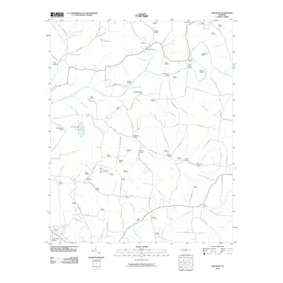
2010 Map of Dellrose
USGS Topo · Published 2010About this map
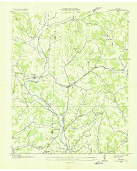
Elk River serpentines through this Southern Tennessee landscape, carving deep turns at Cheatham Bend and Mitchell Bend near the Stone Bluff Bridge. The rural character of the region is defined by its numerous family-named hollows and a dense concentration of historical burial grounds, such as the Thornton Cemetery and Bledsoe Cemetery, which serve as vital markers for genealogical research.
Find a feature on this map
120 named features on this map. Tap any name to fly to it.
Don’t see what you’re looking for? This feature index may not catch every label — zoom into the map to look around manually.
Map Details
Editions of this 2010 Dellrose Map
This is the sole edition of this map. No revisions or reprints were ever made.
Other maps of this area

1888 · Huntsville
USGS Topo · 1:125,000

1892 · Huntsville
USGS Topo · 1:125,000
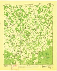
1936 · Taft
USGS Topo · 1:24,000
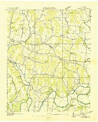
1936 · Boonshill
USGS Topo · 1:24,000
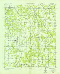
1936 · Elkmont
USGS Topo · 1:24,000
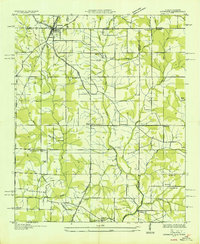
1936 · Ardmore
USGS Topo · 1:24,000
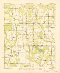
1936 · Toney
USGS Topo · 1:24,000
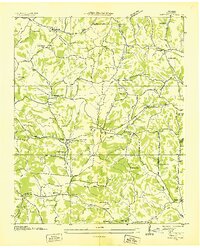
1936 · Tarpley
USGS Topo · 1:24,000
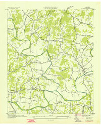
1936 · Elkton
USGS Topo · 1:24,000
1936 · Frankewing
USGS Topo · 1:24,000