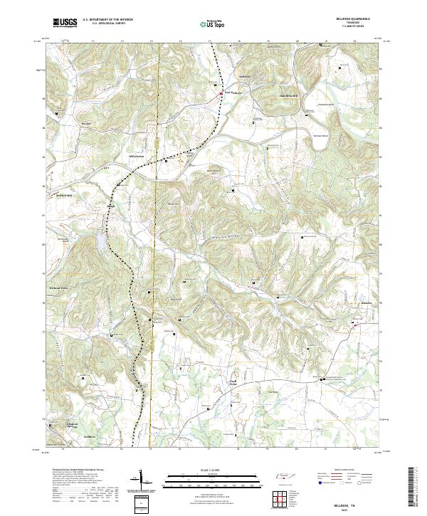
2022 Map of Dellrose
USGS Topo · Published 2022About this map
Elk River curves through this landscape along the border of Giles and Lincoln counties, anchoring a network of small settlements and family lands. The terrain is defined by its many hollows and ridges, such as Stevenson Hollow and Pea Ridge, which have historically shaped the roads and farm placements in this part of Tennessee. This survey is particularly valuable for genealogical research, as it identifies numerous family-named cemeteries and landmarks, including the F A George Family Cem and the Thomas A Stone Cem.
Find a feature on this map
158 named features on this map. Tap any name to fly to it.
Don’t see what you’re looking for? This feature index may not catch every label — zoom into the map to look around manually.
Map Details
Editions of this 2022 Dellrose Map
This is the sole edition of this map. No revisions or reprints were ever made.
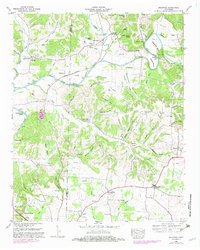
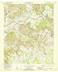
Historical Maps of Dellrose Through Time
4 maps found