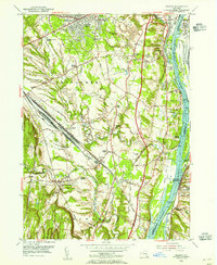
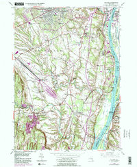
1953 Map of Delmar
USGS Topo · Published 1954About this map
Bethlehem and Coeymans are captured in a state of post-war transition, where the expanding suburbs of Delmar and Elsmere meet the heavy infrastructure of the Hudson River valley. The map documents the early construction of the New York State Thruway, then marked as a construction road or simply under construction. This massive project is shown slicing through rural land near Glenmont and Bethlehem Center. To the south, the industrial scale of the era is evident at the Selkirk Yards and Selkirk Airport, which served as critical transport hubs for the New York Central Railroad. Along the river, a complex network of islands and creeks like Papscanee Island and Schermerhorn Island define the waterfront across from Castleton-on-Hudson, while numerous family-named junctions such as Houcks Corners and Beckers Corners preserve the earlier agricultural geography of the region.
Find a feature on this map
86 named features on this map. Tap any name to fly to it.
Don’t see what you’re looking for? This feature index may not catch every label — zoom into the map to look around manually.
Map Details
Editions of this 1953 Delmar Map
5 editions found
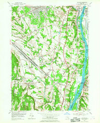
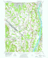
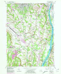
Other maps of this area

1893 · Troy
USGS Topo · 1:62,500

1893 · Coxsackie
USGS Topo · 1:62,500

1893 · Albany
USGS Topo · 1:62,500

1894 · Coxsackie
USGS Topo · 1:62,500

1895 · Troy
USGS Topo · 1:62,500

1895 · Albany
USGS Topo · 1:62,500

1898 · Albany
USGS Topo · 1:62,500

1898 · Troy
USGS Topo · 1:62,500

1903 · Kinderhook
USGS Topo · 1:62,500

1925 · Troy
USGS Topo · 1:48,000