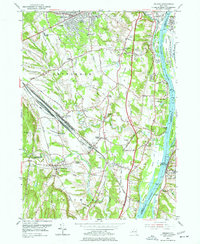
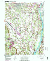
1953 Map of Delmar
USGS Topo · Published 1977About this map
The industrial and suburban expansion of Bethlehem and Coeymans south of Albany is clearly visible in this early 1950s survey. The landscape is dominated by the massive Selkirk Yards rail complex and the New York Central lines, illustrating the region's importance as a transportation hub. Along the Hudson River, the map identifies numerous islands and hooks, including Bear Island and Paarda Hook, alongside the riverfront community of Castleton-on-Hudson.
Find a feature on this map
80 named features on this map. Tap any name to fly to it.
Don’t see what you’re looking for? This feature index may not catch every label — zoom into the map to look around manually.
Map Details
Editions of this 1953 Delmar Map
5 editions found
Other maps of this area

1893 · Troy
USGS Topo · 1:62,500

1893 · Coxsackie
USGS Topo · 1:62,500

1893 · Albany
USGS Topo · 1:62,500

1894 · Coxsackie
USGS Topo · 1:62,500

1895 · Troy
USGS Topo · 1:62,500

1895 · Albany
USGS Topo · 1:62,500

1898 · Albany
USGS Topo · 1:62,500

1898 · Troy
USGS Topo · 1:62,500

1903 · Kinderhook
USGS Topo · 1:62,500

1925 · Troy
USGS Topo · 1:48,000