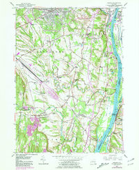
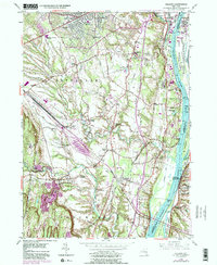
1953 Map of Delmar
USGS Topo · Published 1981About this map
The Hudson River corridor south of Albany defines this landscape, where the tidal river meets the rugged drainage of the Vloman Kill and Normans Kill. By the early 1950s, the area shows a distinct transition from the established settlements of Delmar and Elsmere toward the industrial and maritime activity along the riverbanks. The Conrail lines and the emerging New York State Thruway cut through the rolling farmland, illustrating the post-war transportation shift that reshaped Albany County.
Find a feature on this map
77 named features on this map. Tap any name to fly to it.
Don’t see what you’re looking for? This feature index may not catch every label — zoom into the map to look around manually.
Map Details
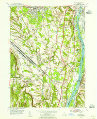
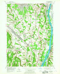
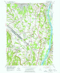
Editions of this 1953 Delmar Map
5 editions found
Other maps of this area

1893 · Troy
USGS Topo · 1:62,500

1893 · Coxsackie
USGS Topo · 1:62,500

1893 · Albany
USGS Topo · 1:62,500

1894 · Coxsackie
USGS Topo · 1:62,500

1895 · Troy
USGS Topo · 1:62,500

1895 · Albany
USGS Topo · 1:62,500

1898 · Albany
USGS Topo · 1:62,500

1898 · Troy
USGS Topo · 1:62,500

1903 · Kinderhook
USGS Topo · 1:62,500

1925 · Troy
USGS Topo · 1:48,000