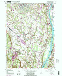
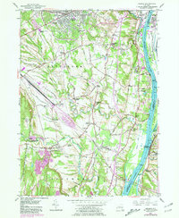
1953 Map of Delmar
USGS Topo · Published 1981About this map
Delmar and Elsmere form a suburban cluster in this mid-century survey, sitting just west of the heavily industrialized banks of the Hudson River. The landscape transitions from the residential streets of Bethlehem to the agricultural and riparian corridors of the Vloman Kill and Onesquethaw Creek. Significant transportation infrastructure dominates the central portion of the sheet, including the New York State Thruway and the sprawling rail yards of Conrail near Selkirk.
Find a feature on this map
66 named features on this map. Tap any name to fly to it.
Don’t see what you’re looking for? This feature index may not catch every label — zoom into the map to look around manually.
Map Details
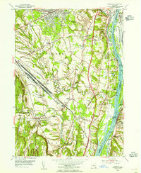
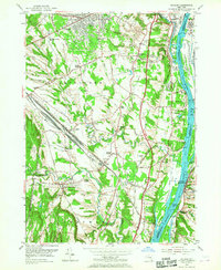
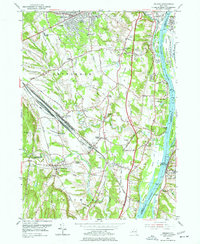
Editions of this 1953 Delmar Map
5 editions found
Other maps of this area

1893 · Troy
USGS Topo · 1:62,500

1893 · Coxsackie
USGS Topo · 1:62,500

1893 · Albany
USGS Topo · 1:62,500

1894 · Coxsackie
USGS Topo · 1:62,500

1895 · Troy
USGS Topo · 1:62,500

1895 · Albany
USGS Topo · 1:62,500

1898 · Albany
USGS Topo · 1:62,500

1898 · Troy
USGS Topo · 1:62,500

1903 · Kinderhook
USGS Topo · 1:62,500

1925 · Troy
USGS Topo · 1:48,000