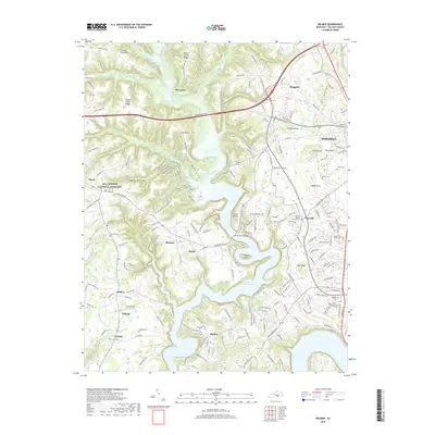
2019 Map of Delmer
USGS Topo · Published 2019About this map
Mill Springs National Cemetery and Zollicoffer Park stand as significant commemorative landmarks in this region of Pulaski County, marking the cultural landscape west of Somerset. The terrain is defined by the expansive reaches of Lake Cumberland, which creates a complex shoreline of inlets and peninsulas, including areas around Sardis and Shafter. The map reveals a dense network of local cemeteries and country churches, such as Oak Hill Baptist Church and Pisgah Church, which are vital for genealogical research and understanding the community's settlement patterns.
Find a feature on this map
182 named features on this map. Tap any name to fly to it.
Don’t see what you’re looking for? This feature index may not catch every label — zoom into the map to look around manually.
Map Details
Editions of this 2019 Delmer Map
This is the sole edition of this map. No revisions or reprints were ever made.
Other maps of this area
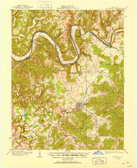
1911 · Monticello
USGS Topo · 1:62,500
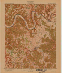
1914 · Monticello
USGS Topo · 1:62,500
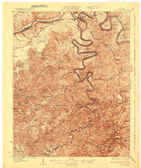
1932 · Burnside
USGS Topo · 1:62,500
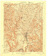
1935 · Somerset
USGS Topo · 1:62,500
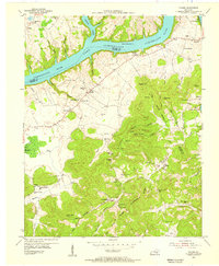
1953 · Frazer
USGS Topo · 1:24,000
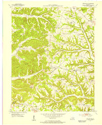
1953 · Mintonville
USGS Topo · 1:24,000
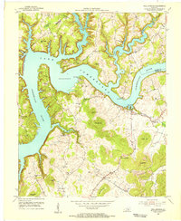
1953 · Mill Springs
USGS Topo · 1:24,000
1954 · Bobtown
USGS Topo · 1:24,000
1954 · Burnside
USGS Topo · 1:24,000
1954 · Delmer
USGS Topo · 1:24,000