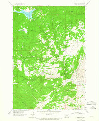
1963 Map of Delmoe Lake
USGS Topo · Published 1966About this map
Deerlodge National Forest defines the topography of this Montana landscape, where high-altitude geography meets the industrial infrastructure of the early 1960s. The Northern Pacific railroad cuts a prominent path through the terrain, requiring significant engineering feats like the Big Pipestone Viaduct and Spire Rock Viaduct to traverse the mountain gaps.
Find a feature on this map
44 named features on this map. Tap any name to fly to it.
Don’t see what you’re looking for? This feature index may not catch every label — zoom into the map to look around manually.
Map Details
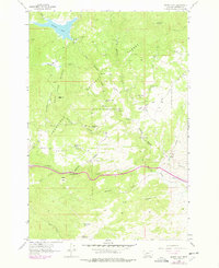
Editions of this 1963 Delmoe Lake Map
2 editions found
Other maps of this area

1889 · Helena
USGS Topo · 1:250,000

1893 · Helena
USGS Topo · 1:250,000

1893 · Dillon
USGS Topo · 1:250,000

1899 · Boulder
USGS Topo · 1:125,000

1899 · Helena
USGS Topo · 1:250,000

1903 · Helena
USGS Topo · 1:250,000

1947 · Butte
USGS Topo · 1:250,000

1954 · Elk Park
USGS Topo · 1:62,500

1954 · Boulder
USGS Topo · 1:62,500

1955 · Dillon
USGS Topo · 1:250,000