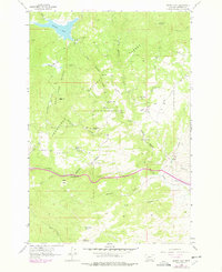
1963 Map of Delmoe Lake
USGS Topo · Published 1978About this map
Deerlodge National Forest dominates this mountain landscape, which was updated in the late 1970s to reflect changes in industrial and recreational infrastructure. The map reveals a transition from traditional mining activity to more modern utility and transport networks, including a prominent pipeline and the Burlington Northern railroad corridor. Historic mining remains are scattered across the terrain, notably the King Mine, Marsh Mine, and Silver Queen Mine, while the Welch Quarry sits near the small settlement of Welch.
Find a feature on this map
46 named features on this map. Tap any name to fly to it.
Don’t see what you’re looking for? This feature index may not catch every label — zoom into the map to look around manually.
Map Details
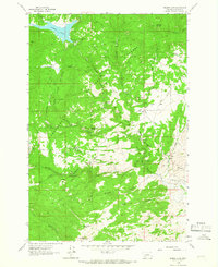
Editions of this 1963 Delmoe Lake Map
2 editions found
Other maps of this area

1889 · Helena
USGS Topo · 1:250,000

1893 · Helena
USGS Topo · 1:250,000

1893 · Dillon
USGS Topo · 1:250,000

1899 · Boulder
USGS Topo · 1:125,000

1899 · Helena
USGS Topo · 1:250,000

1903 · Helena
USGS Topo · 1:250,000

1947 · Butte
USGS Topo · 1:250,000

1954 · Elk Park
USGS Topo · 1:62,500

1954 · Boulder
USGS Topo · 1:62,500

1955 · Dillon
USGS Topo · 1:250,000