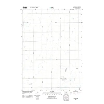
2012 Map of Delmont
USGS Topo · Published 2012About this map
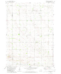
Delmont serves as the central hub of this Douglas County landscape, where the town's grid meets the surrounding agricultural sections. The map reveals a high density of rural burial grounds, suggesting the deep denominational or ethnic roots of the early settlers. From the Delmont Cem and Zion Cem near the town center to the outlying Old Missouri Cem, Immanuel Cem, and Neusatz Cem, these sites are vital for genealogists tracing local families. The natural geography is defined by the N Br Dry Cr and a series of ephemeral water bodies scattered across the prairie. In town, the Po and the intersection of W Main St and Broadway St mark the center of civic life during this early 21st-century period.
Find a feature on this map
35 named features on this map. Tap any name to fly to it.
Don’t see what you’re looking for? This feature index may not catch every label — zoom into the map to look around manually.
Map Details
Editions of this 2012 Delmont Map
This is the sole edition of this map. No revisions or reprints were ever made.
Other maps of this area

1955 · Mitchell
USGS Topo · 1:250,000

1959 · Mitchell
USGS Topo · 1:250,000

1964 · Wagner NE
USGS Topo · 1:24,000

1977 · Oak Hollow
USGS Topo · 1:24,000
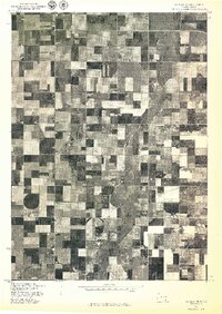
1977 · Wagner NE
USGS Topo · 1:24,000

1978 · Oak Hollow
USGS Topo · 1:24,000
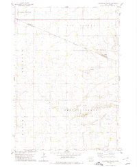
1978 · Greenwood Colony
USGS Topo · 1:24,000

1979 · Delmont
USGS Topo · 1:24,000
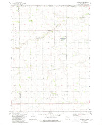
1979 · Delmont NE
USGS Topo · 1:24,000
1979 · Delmont SE
USGS Topo · 1:24,000
Featured Places
- Delmont, SD
- East Choteau Township, SD
- Valley Township, SD
- Independence Township, SD
- Lincoln Township, SD