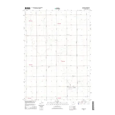
2015 Map of Delmont
USGS Topo · Published 2015About this map
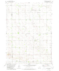
The town of Delmont serves as the primary hub in this portion of Douglas County, South Dakota. This agricultural landscape is meticulously organized by a grid of rural roads, including CR-500, which connects the town to the surrounding townships of t98n r62w and t99n r62w. For genealogists and local historians, this map is especially significant for its documentation of numerous rural burial sites scattered across the prairie. These include Neusatz Cem, Immanuel Cem, and the Old Missouri Cem. Near the town site, both Hope Cem and Zion Cem are recorded, alongside the Delmont Cem. The only significant drainage feature noted is the N Br Dry Cr, which meanders through the northern sections, illustrating the typical intermittent water patterns of the high plains.
Find a feature on this map
33 named features on this map. Tap any name to fly to it.
Don’t see what you’re looking for? This feature index may not catch every label — zoom into the map to look around manually.
Map Details
Editions of this 2015 Delmont Map
This is the sole edition of this map. No revisions or reprints were ever made.
Other maps of this area

1955 · Mitchell
USGS Topo · 1:250,000

1959 · Mitchell
USGS Topo · 1:250,000

1964 · Wagner NE
USGS Topo · 1:24,000

1977 · Oak Hollow
USGS Topo · 1:24,000
1977 · Wagner NE
USGS Topo · 1:24,000

1978 · Oak Hollow
USGS Topo · 1:24,000
1978 · Greenwood Colony
USGS Topo · 1:24,000

1979 · Delmont
USGS Topo · 1:24,000
1979 · Delmont NE
USGS Topo · 1:24,000
1979 · Delmont SE
USGS Topo · 1:24,000
Featured Places
- Delmont, SD
- East Choteau Township, SD
- Valley Township, SD
- Independence Township, SD
- Lincoln Township, SD