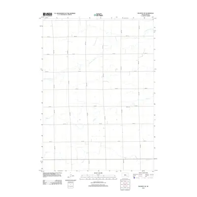
2012 Map of Delmont NE
USGS Topo · Published 2012About this map
Miller Cem is a prominent cultural landmark in this section of the Great Plains, located near the intersection of several section-line roads. The landscape is defined by the headwaters and meandering courses of several prairie streams, including the S Fork Twelvemile Cr in the north, Coffee Cr through the center, and Pony Cr along the southern border. This 2012 survey illustrates the enduring grid of the Public Land Survey System, where modern corridors like 408th Ave and 273rd St follow historical property boundaries. The map provides a clear look at the sparse rural development and drainage patterns of the South Dakota countryside before recent shifts in agricultural land use.
Find a feature on this map
17 named features on this map. Tap any name to fly to it.
Don’t see what you’re looking for? This feature index may not catch every label — zoom into the map to look around manually.
Map Details
Editions of this 2012 Delmont NE Map
This is the sole edition of this map. No revisions or reprints were ever made.
Other maps of this area

1898 · Olivet
USGS Topo · 1:125,000

1899 · Mitchell
USGS Topo · 1:125,000

1899 · Alexandria
USGS Topo · 1:125,000

1955 · Sioux Falls
USGS Topo · 1:250,000

1955 · Mitchell
USGS Topo · 1:250,000

1957 · Ethan
USGS Topo · 1:24,000

1958 · Sioux Falls
USGS Topo · 1:250,000

1959 · Mitchell
USGS Topo · 1:250,000

1979 · Delmont
USGS Topo · 1:24,000
1979 · Delmont NE
USGS Topo · 1:24,000
Featured Places
- Washington Township, SD
- Rome Township, SD
- Tobin Township, SD
- Lincoln Township, SD
- Susquehanna Township, SD