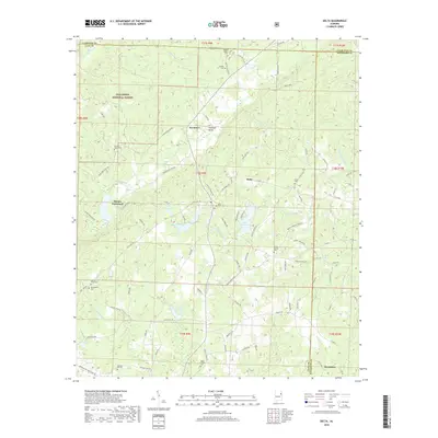
2018 Map of Delta
USGS Topo · Published 2018About this map
The Talladega National Forest encompasses the northwestern portion of this region, where the terrain rises toward Haynes Mountain. This 2018 survey reveals a landscape defined by small rural hubs and an extensive network of cemeteries, reflecting the long-standing community foundations in Clay, Cleburne, and Randolph counties. Delta, the primary settlement, is identified by the Delta PO, while other crossroads like Haynes Crossroad, Needmore, and Christiana anchor the surrounding timberlands and family farms.
Find a feature on this map
101 named features on this map. Tap any name to fly to it.
Don’t see what you’re looking for? This feature index may not catch every label — zoom into the map to look around manually.
Map Details
Editions of this 2018 Delta Map
This is the sole edition of this map. No revisions or reprints were ever made.
Other maps of this area

1891 · Ashland
USGS Topo · 1:125,000

1900 · Anniston
USGS Topo · 1:125,000
1947 · Oxford
USGS Topo · 1:24,000
1950 · Anniston
USGS Topo · 1:62,500

1953 · Atlanta
USGS Topo · 1:250,000
1956 · Oxford
USGS Topo · 1:24,000

1957 · Atlanta
USGS Topo · 1:250,000

1958 · Atlanta
USGS Topo · 1:250,000
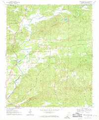
1967 · Ross Mountain
USGS Topo · 1:24,000
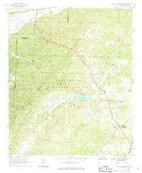
1967 · Hollis Crossroads
USGS Topo · 1:24,000