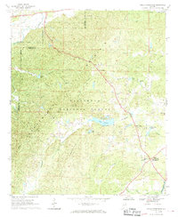
1967 Map of Hollis Crossroads
USGS Topo · Published 1970About this map
Horseblock Mountain dominates the center of this 1960s landscape, where the rugged terrain is largely preserved within the Talladega National Forest. Human settlement is concentrated along the ridges and winding valley floors, anchored by the community of Hollis Crossroads in the southeast. This area reveals a traditional rural Alabama pattern of development, where social life centered on small country churches like Bethlehem Ch, Canaan Ch, and Liberty Hill Ch.
Find a feature on this map
30 named features on this map. Tap any name to fly to it.
Don’t see what you’re looking for? This feature index may not catch every label — zoom into the map to look around manually.
Map Details
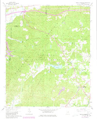
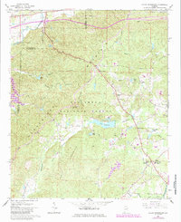
Editions of this 1967 Hollis Crossroads Map
3 editions found
Other maps of this area

1891 · Ashland
USGS Topo · 1:125,000

1900 · Anniston
USGS Topo · 1:125,000

1947 · Oxford
USGS Topo · 1:24,000

1947 · Anniston
USGS Topo · 1:24,000

1950 · Anniston
USGS Topo · 1:62,500

1953 · Atlanta
USGS Topo · 1:250,000

1954 · Choccolocco
USGS Topo · 1:24,000

1956 · Oxford
USGS Topo · 1:24,000

1956 · Anniston
USGS Topo · 1:24,000

1957 · Atlanta
USGS Topo · 1:250,000