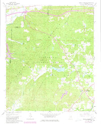
1967 Map of Hollis Crossroads
USGS Topo · Published 1980About this map
Horseblock Mountain and Ivory Mountain dominate the terrain of this West-Central Alabama quadrangle, which sits largely within the protected boundaries of the Talladega National Forest. The map documents a landscape of ridge-top lookouts and deep creek drainages, where the Skyway Motorway follows the high ground of the Horseblock Mountain ridge.
Find a feature on this map
38 named features on this map. Tap any name to fly to it.
Don’t see what you’re looking for? This feature index may not catch every label — zoom into the map to look around manually.
Map Details
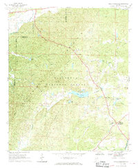
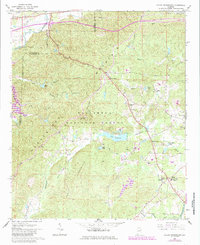
Editions of this 1967 Hollis Crossroads Map
3 editions found
Other maps of this area

1891 · Ashland
USGS Topo · 1:125,000

1900 · Anniston
USGS Topo · 1:125,000

1947 · Oxford
USGS Topo · 1:24,000

1947 · Anniston
USGS Topo · 1:24,000

1950 · Anniston
USGS Topo · 1:62,500

1953 · Atlanta
USGS Topo · 1:250,000

1954 · Choccolocco
USGS Topo · 1:24,000

1956 · Oxford
USGS Topo · 1:24,000

1956 · Anniston
USGS Topo · 1:24,000

1957 · Atlanta
USGS Topo · 1:250,000