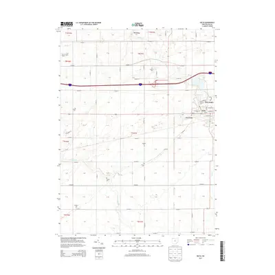
2013 Map of Delta
USGS Topo · Published 2013About this map
The town of Delta serves as the focal point of this Northwest Ohio landscape, which is defined by an orderly grid of county roads and agricultural sections. The settlement extends through West Delta and Delta Heights, where residential streets like Edgewood St and Palmwood St meet W Main St. The surrounding countryside in Fulton County is notable for its high density of family and community burial grounds, including the Old Delta Cemetery, Greenlawn Cemetery, and Berkebile Cemetery, which offer valuable locations for genealogical research. Waterways such as Bad Creek and North Turkeyfoot Creek meander across the terrain, cutting through the geometric boundaries of the Township and Range system. To the north, the small community of Winameg and the Fulton County Airport mark the transition toward the Michigan border.
Find a feature on this map
89 named features on this map. Tap any name to fly to it.
Don’t see what you’re looking for? This feature index may not catch every label — zoom into the map to look around manually.
Map Details
Editions of this 2013 Delta Map
This is the sole edition of this map. No revisions or reprints were ever made.
Other maps of this area

1908 · Napoleon
USGS Topo · 1:62,500

1909 · Mc Clure
USGS Topo · 1:62,500

1911 · Wauseon
USGS Topo · 1:62,500

1911 · Swanton
USGS Topo · 1:62,500

1913 · Wauseon
USGS Topo · 1:62,500

1914 · Swanton
USGS Topo · 1:62,500

1943 · Wauseon
USGS Topo · 1:62,500

1953 · Fort Wayne
USGS Topo · 1:250,000

1956 · Fort Wayne
USGS Topo · 1:250,000

1956 · Toledo
USGS Topo · 1:250,000