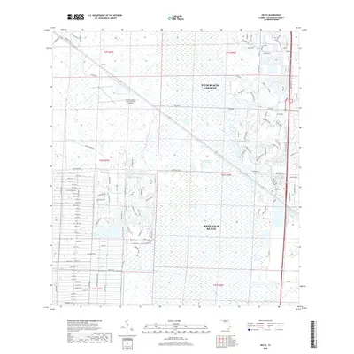
2018 Map of Delta
USGS Topo · Published 2018About this map
Loxahatchee Slough dominates the central landscape of this Florida quadrangle, revealing the complex water management system of the northern Everglades. The area around Delta and the fringes of Palm Beach Gardens showcases a transition from wetland conservation to suburban development. The map details a precise grid of roads like Key Lime Blvd and Citrus Grove Blvd, reflecting the region's agricultural history and more recent residential expansion. Critical infrastructure is evident through the presence of the North Palm Beach County General Aviation airport and engineered waterways including the M Canal and Loxahatchee Canal. This 2018 survey captures the intersection of environmental preservation and urban growth in Palm Beach County, where the sprawling outskirts of West Palm Beach meet the natural slough systems.
Find a feature on this map
141 named features on this map. Tap any name to fly to it.
Don’t see what you’re looking for? This feature index may not catch every label — zoom into the map to look around manually.
Map Details
Editions of this 2018 Delta Map
This is the sole edition of this map. No revisions or reprints were ever made.
Other maps of this area

1945 · Delta
USGS Topo · 1:24,000

1946 · Riviera Beach
USGS Topo · 1:24,000

1946 · Palm Beach Farms
USGS Topo · 1:24,000

1946 · Palm Beach
USGS Topo · 1:24,000

1948 · Rood
USGS Topo · 1:24,000

1948 · Jupiter
USGS Topo · 1:24,000

1949 · Rood
USGS Topo · 1:24,000

1949 · Palm Beach Farms
USGS Topo · 1:24,000

1949 · Riviera Beach
USGS Topo · 1:24,000

1950 · Jupiter
USGS Topo · 1:24,000