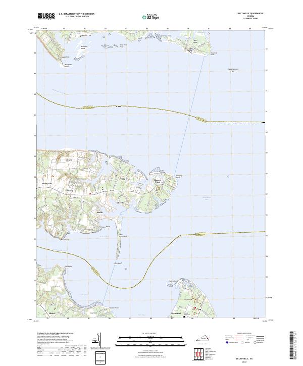
2022 Map of Deltaville
USGS Topo · Published 2022About this map
Deltaville and the surrounding coastal necks of Middlesex County occupy a distinctive landscape where the Rappahannock River meets the Chesapeake Bay. This maritime corridor is defined by its deep indentation of creeks and bays, including Broad Creek and Fishing Bay, which have long shaped the settlement patterns of local communities like Amburg, Ruark, and Grinels. The geography here is a series of peninsulas and spits, most notably Stingray Point and Windmill Point across the river, which serve as critical landmarks for Chesapeake navigation.
Find a feature on this map
105 named features on this map. Tap any name to fly to it.
Don’t see what you’re looking for? This feature index may not catch every label — zoom into the map to look around manually.
Map Details
Editions of this 2022 Deltaville Map
This is the sole edition of this map. No revisions or reprints were ever made.
Other maps of this area

1916 · Kilmarnock
USGS Topo · 1:48,000

1916 · Mathews
USGS Topo · 1:62,500

1917 · Kilmarnock
USGS Topo · 1:62,500

1917 · Mathews
USGS Topo · 1:62,500

1942 · Kilmarnock
USGS Topo · 1:62,500

1943 · Richmond
USGS Topo · 1:250,000

1948 · Ware Neck
USGS Topo · 1:24,000

1948 · Deltaville
USGS Topo · 1:24,000

1948 · Mathews
USGS Topo · 1:24,000
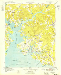
1949 · Irvington
USGS Topo · 1:24,000