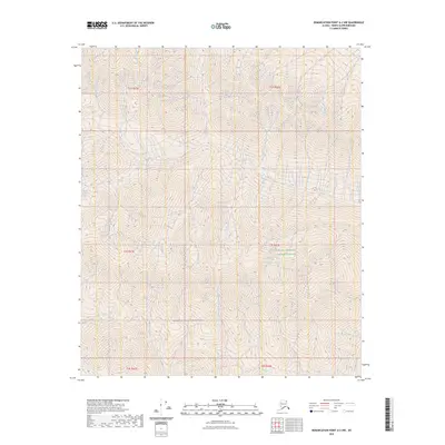
2023 Map of Demarcation Point A-2 NW
USGS Topo · Published 2023About this map
Mollie Beattie Wilderness and the Arctic National Wildlife Refuge dominate this high-latitude terrain in the North Slope Borough. The landscape is defined by the steep elevation changes of the Brooks Range foothills, where the intricate drainage patterns flow toward the Kongakut River in the southeast corner. This modern survey illustrates a completely undeveloped wilderness, devoid of roads, settlements, or structures, preserving the region's character as one of the most protected natural areas in the United States. The map focuses on the complex topography and hydrology of the T2S through T4S townships, providing a clear picture of the undisturbed watershed and native vegetation patterns that have remained unchanged for centuries.
Find a feature on this map
9 named features on this map. Tap any name to fly to it.
Don’t see what you’re looking for? This feature index may not catch every label — zoom into the map to look around manually.
Map Details
Editions of this 2023 Demarcation Point A-2 NW Map
This is the sole edition of this map. No revisions or reprints were ever made.
Other maps of this area

1951 · Demarcation Point
USGS Topo · 1:250,000

1955 · Demarcation Point
USGS Topo · 1:250,000
1956 · Demarcation Point B-3
USGS Topo · 1:63,360

1956 · Demarcation Point B-2
USGS Topo · 1:63,360

1964 · Demarcation Point
USGS Topo · 1:250,000

1983 · Demarcation Point A-2
USGS Topo · 1:63,360
1983 · Demarcation Point A-3
USGS Topo · 1:63,360
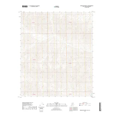
2018 · Demarcation Point A-2 NW
USGS Topo · 1:25,000
2018 · Demarcation Point B-2 SE
USGS Topo · 1:25,000
2018 · Demarcation Point A-2 NE
USGS Topo · 1:25,000