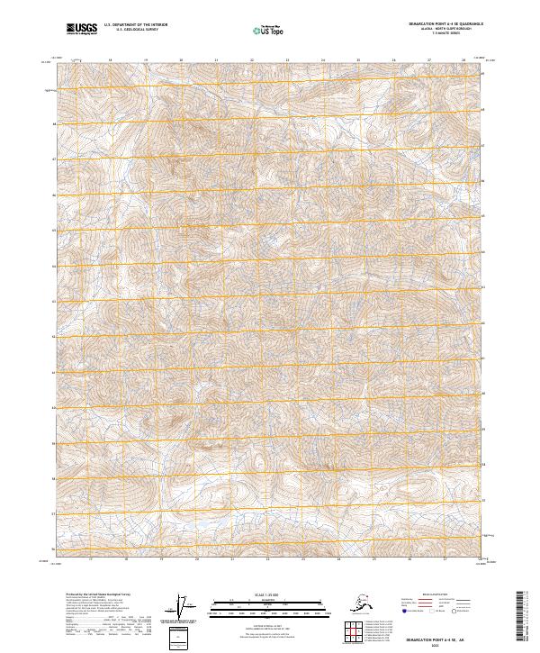
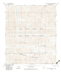
2023 Map of Demarcation Point A-4 SE
USGS Topo · Published 2023About this map
Mollie Beattie Wilderness defines this section of the far north, where the drainage of Draft Creek carves through the high elevations of the Romanzof Mountains. Located within the Arctic National Wildlife Refuge, the terrain is characterized by steep contours and glacial valleys that underscore the isolation of the North Slope. The surveying of this area remains dominated by federal land designations and township boundaries such as t4s r38e and t5s r39e, reflecting a landscape managed for conservation rather than settlement. Researchers of the eastern Brooks Range can trace the subtle hydrography and high-altitude topography that govern the movement of water and wildlife across this protected tundra environment.
Find a feature on this map
8 named features on this map. Tap any name to fly to it.
Don’t see what you’re looking for? This feature index may not catch every label — zoom into the map to look around manually.
Map Details
Editions of this 2023 Demarcation Point A-4 SE Map
This is the sole edition of this map. No revisions or reprints were ever made.
Other maps of this area

1951 · Demarcation Point
USGS Topo · 1:250,000

1951 · Table Mountain
USGS Topo · 1:250,000

1955 · Demarcation Point
USGS Topo · 1:250,000

1956 · Table Mountain
USGS Topo · 1:250,000

1964 · Table Mountain
USGS Topo · 1:250,000

1964 · Demarcation Point
USGS Topo · 1:250,000
1983 · Table Mountain D-4
USGS Topo · 1:63,360
1983 · Demarcation Point A-4
USGS Topo · 1:63,360
1983 · Table Mountain D-3
USGS Topo · 1:63,360
1983 · Demarcation Point A-3
USGS Topo · 1:63,360