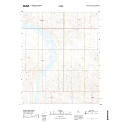
2018 Map of Demarcation Point B-1 NW
USGS Topo · Published 2018About this map
Kongakut River winds through this Arctic landscape, creating a complex network of braided channels as it flows north toward the Beaufort Sea. The river dominates the western portion of the terrain, carving a wide valley between the high, steep slopes of the Brooks Range foothills. In the southern reach of this survey, the Paulaluk River makes its appearance, cutting through the high country before converging toward the larger Kongakut system. The topographic data reveals a land defined entirely by hydrology and elevation, devoid of modern infrastructure or permanent settlements. Instead, the map traces the natural drainage patterns across several townships, including t2n r43e and t1s r44e, where the contours illustrate the sharp relief of the North Slope's interior wilderness.
Find a feature on this map
8 named features on this map. Tap any name to fly to it.
Don’t see what you’re looking for? This feature index may not catch every label — zoom into the map to look around manually.
Map Details
Editions of this 2018 Demarcation Point B-1 NW Map
This is the sole edition of this map. No revisions or reprints were ever made.
Other maps of this area

1951 · Demarcation Point
USGS Topo · 1:250,000

1955 · Demarcation Point
USGS Topo · 1:250,000
1955 · Demarcation Point C-1
USGS Topo · 1:63,360

1955 · Demarcation Point C-2
USGS Topo · 1:63,360

1956 · Demarcation Point B-2
USGS Topo · 1:63,360
1956 · Demarcation Point B-1
USGS Topo · 1:63,360

1964 · Demarcation Point
USGS Topo · 1:250,000
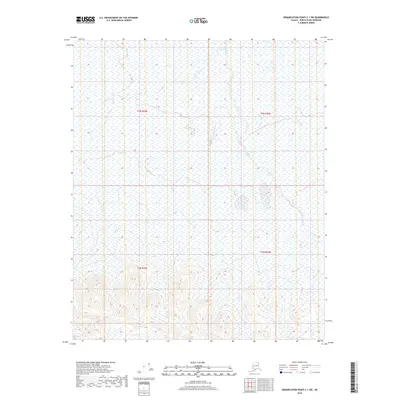
2018 · Demarcation Point C-1 SW
USGS Topo · 1:25,000
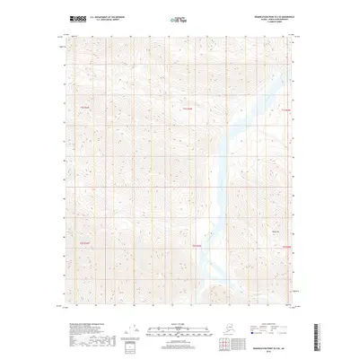
2018 · Demarcation Point B-2 SE
USGS Topo · 1:25,000
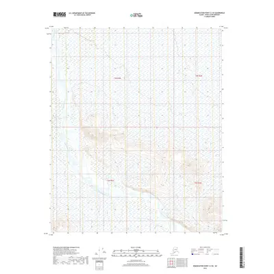
2018 · Demarcation Point C-2 SE
USGS Topo · 1:25,000