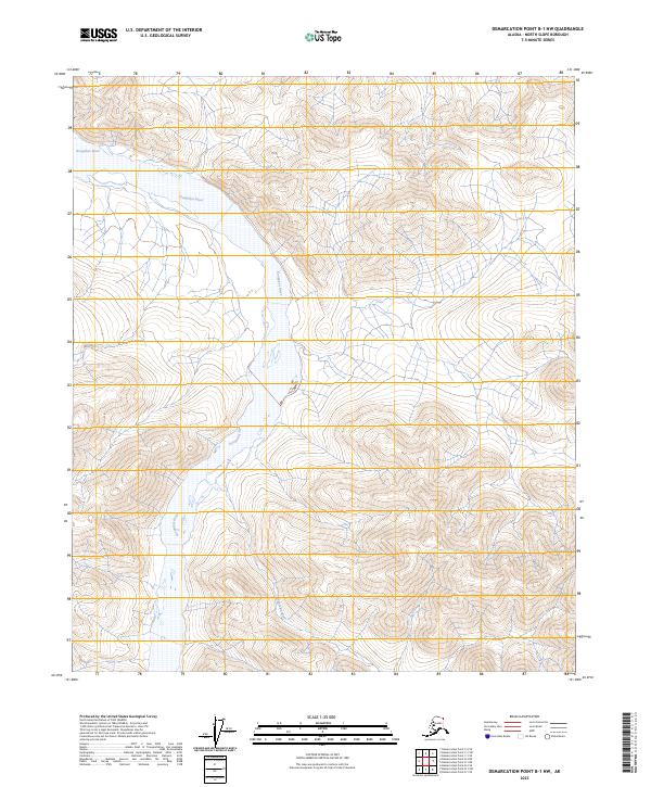
2023 Map of Demarcation Point B-1 NW
USGS Topo · Published 2023About this map
Arctic National Wildlife Refuge encompasses this entire northern landscape, centered on the winding path of the Kongakut River. Flowing northward through the Mollie Beattie Wilderness, the river's braided channels and wide gravel bars illustrate a dynamic hydrologic system shaped by seasonal melt and permafrost. The terrain is characterized by a series of high ridges and narrow valleys, where the Pagilak River joins from the south, cutting through complex topographic contours. This map is defined by its lack of human infrastructure, showing no roads, settlements, or structures, instead focusing on the preservation of a roadless ecosystem and the natural drainage patterns of the Brooks Range foothills. The inclusion of public land survey system markers like t1n r44e and t2n r43e provides the only administrative framework over this remote portion of the North Slope Borough.
Find a feature on this map
10 named features on this map. Tap any name to fly to it.
Don’t see what you’re looking for? This feature index may not catch every label — zoom into the map to look around manually.
Map Details
Editions of this 2023 Demarcation Point B-1 NW Map
This is the sole edition of this map. No revisions or reprints were ever made.
Other maps of this area

1951 · Demarcation Point
USGS Topo · 1:250,000

1955 · Demarcation Point
USGS Topo · 1:250,000
1955 · Demarcation Point C-1
USGS Topo · 1:63,360

1955 · Demarcation Point C-2
USGS Topo · 1:63,360

1956 · Demarcation Point B-2
USGS Topo · 1:63,360
1956 · Demarcation Point B-1
USGS Topo · 1:63,360

1964 · Demarcation Point
USGS Topo · 1:250,000
2018 · Demarcation Point C-1 SW
USGS Topo · 1:25,000
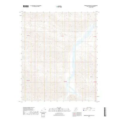
2018 · Demarcation Point B-2 SE
USGS Topo · 1:25,000
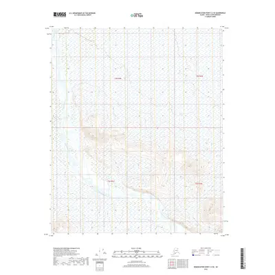
2018 · Demarcation Point C-2 SE
USGS Topo · 1:25,000