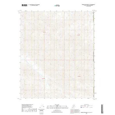
2018 Map of Demarcation Point B-1 SE
USGS Topo · Published 2018About this map
Clarence River flows through this 2018 survey of the northeastern corner of the North Slope Borough, just west of the international boundary. This remote Arctic landscape is defined by the high-elevation drainage basins of the Pagilak River and its mountain tributaries. The map documents the complex topography of the eastern Brooks Range foothills, showcasing the intricate ridgelines and narrow valleys of the North Slope. Lacking any roads, trails, or permanent structures, the terrain is represented purely through its hydrologic network and 40-foot contour intervals, capturing the primitive state of the United States border region in the early twenty-first century.
Find a feature on this map
9 named features on this map. Tap any name to fly to it.
Don’t see what you’re looking for? This feature index may not catch every label — zoom into the map to look around manually.
Map Details
Editions of this 2018 Demarcation Point B-1 SE Map
This is the sole edition of this map. No revisions or reprints were ever made.
Other maps of this area

1951 · Demarcation Point
USGS Topo · 1:250,000

1955 · Demarcation Point
USGS Topo · 1:250,000
1956 · Demarcation Point B-1
USGS Topo · 1:63,360

1964 · Demarcation Point
USGS Topo · 1:250,000
1983 · Demarcation Point A-1
USGS Topo · 1:63,360
2018 · Demarcation Point A-1 NE
USGS Topo · 1:25,000
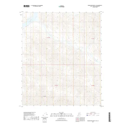
2018 · Demarcation Point B-1 SW
USGS Topo · 1:25,000
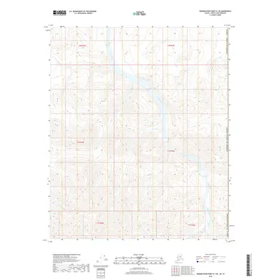
2018 · Demarcation Point B-1 NE
USGS Topo · 1:25,000
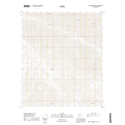
2018 · Demarcation Point A-1 NW
USGS Topo · 1:25,000
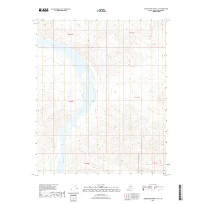
2018 · Demarcation Point B-1 NW
USGS Topo · 1:25,000